
Highway 17
")
Construction Projects on Highway 17
Freeway Service Patrol (RTC Program)
A free tow service roves Highway 17 between Scotts Valley and the summit during peak traffic hours looking to help anyone that is stranded on the highway. For additional information visit the Motorist Assistance web page.
Safe on 17 (RTC Partnership Program)
The Safe on 17 Task Force was developed in 1999 and still continues today to implement strategies to improve safety on Highway 17. For more information, visit the Safe on 17 information page and meeting page.
Highway 17 Wildlife Crossing (Caltrans Lead)
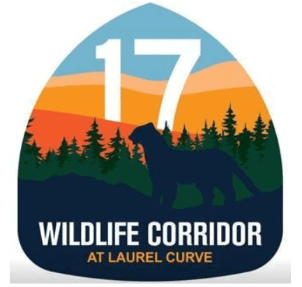
 The Highway 17 wildlife crossing (constructed 2022-2023) is a partnership between Caltrans, the Land Trust of Santa Cruz County and the Santa Cruz County Regional Transportation Commission. This wildlife tunnel under Highway 17 near Laurel Curve was constructed to allow safe passage for wildlife and reduce crashes. The wildlife corridor connects two core habitat areas that the Land Trust has protected from development. Voter-approved Measure D provides $5 million for construction. Check out the Caltrans project webpage and Land Trust webpage, video and impact report for more information.
Fact Sheet
Hwy 17 Access Management Plan
Caltrans District 4 and 5, in collaboration with Santa Cruz County, Santa Clara County, California Highway Patrol and the Santa Cruz County Regional Transportation Commission, developed the Highway 17 Access Management Plan to address access along the entire length of Highway 17. This long-term plan is needed to compete for funding to address access issues along this corridor. View the project summary guide sent to community members.
Subscribe to our Mailing List
Latest news and up-to-date info delivered to your inbox
Report a Hazard
Notify us of obstacles or hazards that may inhibit travel.